")
")
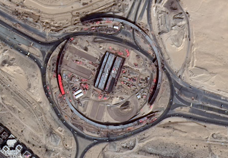
SATELLITE IMAGES
Everything you need in one single shot!
In collaboration with the main satellite photos providers, TimelapseLab offers to its client high-definition satellite images in order to monitor in real-time the construction site, to view maps in details and to plan future actions even from afar.
This service allows you to observe the evolution of the location and the comparison between the most recent photos and the past ones.

Analysis
Usage of images in the timing sequence to analyze the transformation of the area of interest.

High resolution
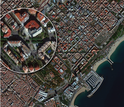
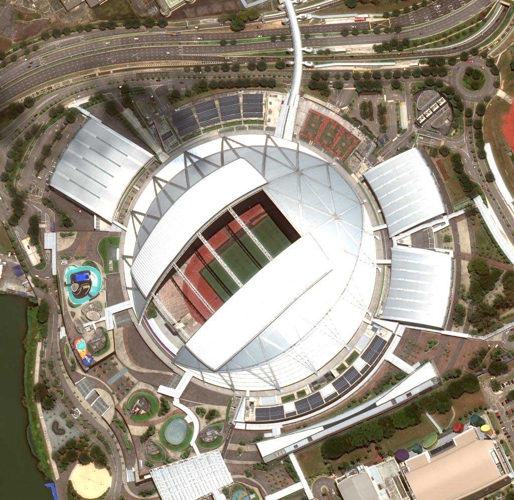
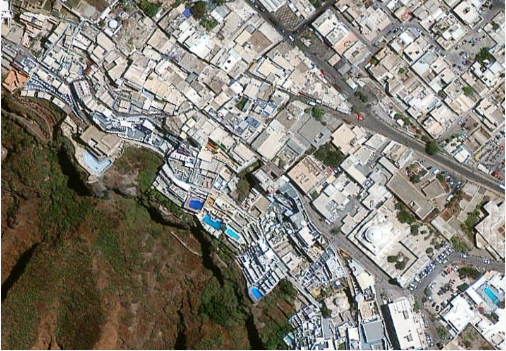
High resolution images. Split screen option (mosaic) in case of shooting from two or more devices.

Global Coverage
Define your area of interest without geographic limits.

Updated Images
Timelapse Lab provides you with updated images in collaboration with the best providers of satellite images.
Accuracy
See beyond the clouds and smoke; distinction between buildings and agricultural area.
HOW DOES IT WORK?
The service compares data of the main satellites in order to provide high-quality updated images, according to the different needs.
It also gives the opportunity to view in sequence the images of the same location in different periods of time such as days, weeks and months in order to have an overview of all the changes that have occurred in that period.
AIMS
The access to the past images is useful to analyze the evolution of a specific area over time. The analysis of the timeline of the satellite images can be a valid support in the prediction of all the possible future events.
We ship plug & play devices all around the world.
We will find a professional solution tailored for you.
Contact us for a free quote.
CUSTOMERS
This service could be useful for several activities:
- Design and construction of infrastructures;
- Monitoring of surfaces and for the current project activity :
- Opportunity to control the competitors' activity;
- Detection of illegal buildings;
- Maintenance of cadastral maps;
- Agricultural controls;
- Control of sea areas;